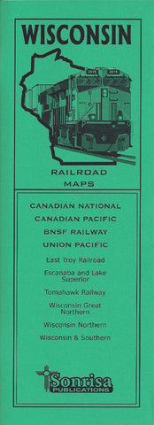
WISCONSIN RAILROAD MAPS
IN STOCK AND SHIPPING
Handy guide to today's railroads in Wisconsin noted for their clarity, accuracy and ease of use. Designed for quick reference in the field in a narrow format that fits in your pocket or camera bag.
Each page highlights a separate subdivision and follows the line throughout its length, crossing state boundaries as necessary. Nearby abandoned or unused routes are also shown as space allows.
- Detailed maps arranged by subdivision (Sample)
- Class Ones: Canadian National • Canadian Pacific • BNSF Railway • Union Pacific
- Regionals/Shortlines: East Troy Railroad • Escanaba and Lake Superior • Tomahawk Railroad • Wisconsin Great Northern • Wisconsin Northern • Wisconsin & Southern
- Station index, detector and crossover locations
- Mainline radio frequencies
- Major highways shown for reference
- Centerspread locator map is keyed to page numbers of lines
- Printed on heavy ivory-colored stock for reduced glare and increased durability in the field
- 48 pages, saddle stitched, approx. 4.25 x 11 inches

